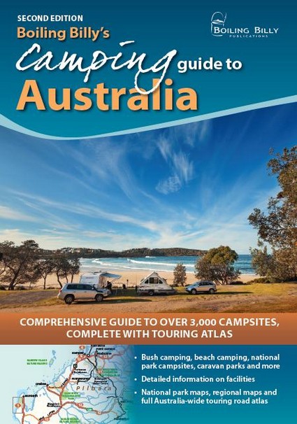
This second edition of the bestselling Boiling Billy’s Camping Guide to Australia is the complete guide to over 3,000 bush camping areas, over half of them free. This is your ideal guide to Australia’s national parks, state forests, conservation parks, the outback and more. Each campsite entry includes detailed information on facilities and activities, along with accurate access details and location descriptions. The guide includes 52 regional maps, over 180 detailed maps of national parks and reserves plus a 120-page Australia-wide road atlas. Boiling Billy’s is Australia’s most popular and trusted camping guide series, and you can be sure of practical, reliable and up-to-date information to help you get the best out of your travels and outdoor pursuits.
In 1995 Craig Lewis and Cathy Savage threw in their day jobs and took the plunge to become full-time writers and photographers. 17 years later, Boiling Billy Publications has grown into one of Australia’s leading outdoor guidebook imprints with close to three-quarters of a million books in print. Their titles include a full series of state-based camping guides, a series of 4WD guides and the bestselling Australian Bush Cooking and Australian Bush Pubs.
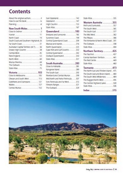
About the original authors
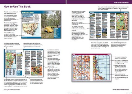
How to use this book
Planning
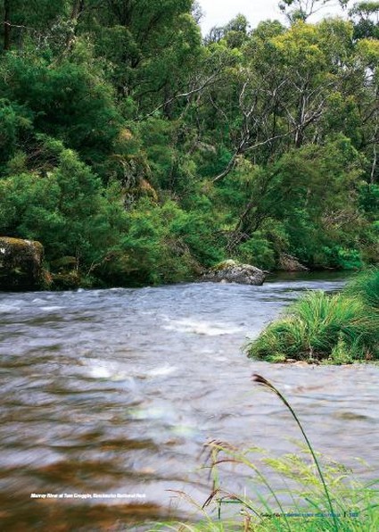
New South Wales: Close to Sydney; Hunter; North Coast; South Coast and Southern Highlands; Far South Coast; Australian Capital Territory; Snowy High Country; Central West; New England; North-West; Murray Riverina; The Outback; State Atlas
Victoria: Close to Melbourne; Otways and South-West; Goldfields and Grampians; Mallee; Central Murray; East Gippsland; Gippsland; High Country; State Atlas
Queensland: Brisbane and Surrounds; Sunshine Coast; Central Queensland Coast; Mackay and Islands; North Queensland; Cape York and Gulf Country; Central Queensland; Outback Queensland; State Atlas
South Australia: Close to Adelaide; Kangaroo Island; The South-East; Riverland and Central Murray; Mid-North and York Peninsula; Eyre Peninsula and Far West; Flinders Ranges; The Outback; State Atlas
Western Australia: Perth and Surrounds; The South-West; The South-East; The Mid-West; The Pilbara; The Kimberley & North-West Coast; The Outback; State Atlas
Northern Territory: The Top End; Central Northern Territory; The Red Centre; State Atlas
Tasmania: The North-East and Flinders Island; The South-East and Bruny Island; The South West Wilderness; The Rugged North-West; The Central Highland Lakes; State Atlas
Index
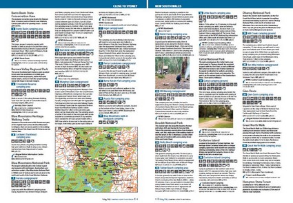
Bestselling guide for campers, caravanners, four-wheel drivers, bushwalkers and anglers
Details over 3,000 camping areas including free and low-cost sites
Accurate and concise access details to every site, including GPS and touring atlas references
52 regional maps and over 180 detailed maps of national parks and reserves
A 120-page Australia-wide road atlas showing the location of each and every campsite
Full index of campsites, reserves, national parks and towns